AirBear Release Notes v2026.01.12

AirBear Release Notes v2026.01.12

AirBear Release Notes: v2026.01.12

Highlights

  • Added real-time tracking support for ADS-B, APRS, and GPS data sources.
  • Introduced a unified connectivity model across TCP and BLE, including reliable TCP-over-BLE.
  • Added SQLite-backed history persistence with startup history loading.
  • Significantly improved map rendering performance and responsiveness.
  • Expanded map capabilities with richer layers, overlays, and quick actions.

Streaming & Connectivity

  • Added Dump1090 ADS-B ingest and parsing.
  • Added KISS/APRS ingest, including handling for single-point tracks.
  • Added NMEA-0183 GPS ingest and mapping support.
  • Refactored parsers/readers to use a shared data-reader abstraction, enabling both TCP and BLE transports.
  • Added robust reconnect handling for TCP and BLE flows.
  • Added BLE message framing (ABM) and stream validation to improve reliability.
  • Added app lifecycle behavior to stop readers in background and resume in foreground.
  • Added Raspberry Pi integration improvements, including remote shutdown command support.

Client & Map Experience

  • Built out custom map interaction with improved pinch-to-zoom, scroll behavior, and gesture-centered zooming.
  • Added and refined map layers controls, including per-connection visibility toggles.
  • Added map overlays for selected-track info, map key (center + scale), and quick actions.
  • Added a Flight List view accessible from the map.
  • Added in-app details viewing for selected tracks (FlightAware link flow).
  • Added nationwide map datasets and layer support for roads/highways, airports, aeroways/runways, countries, and taxiway data.
  • Improved visual clarity for track selection/highlighting and map line rendering.
  • Added first-launch setup help flow and quick access to setup documentation.
  • Updated app branding assets (icon/splash resources).

Storage, History & Data Model Improvements

  • Implemented SQLite storage for senders, tracks, and waypoints, including startup initialization.
  • Added loading of recent historical data at startup.
  • Added pruning support so deleted/simplified waypoints are also removed from storage.
  • Unified multiple connection config types into a generic network config model.
  • Renamed and generalized flight-centric models to track-centric models for broader protocol support.
  • Added local user identifier support.

Performance Improvements

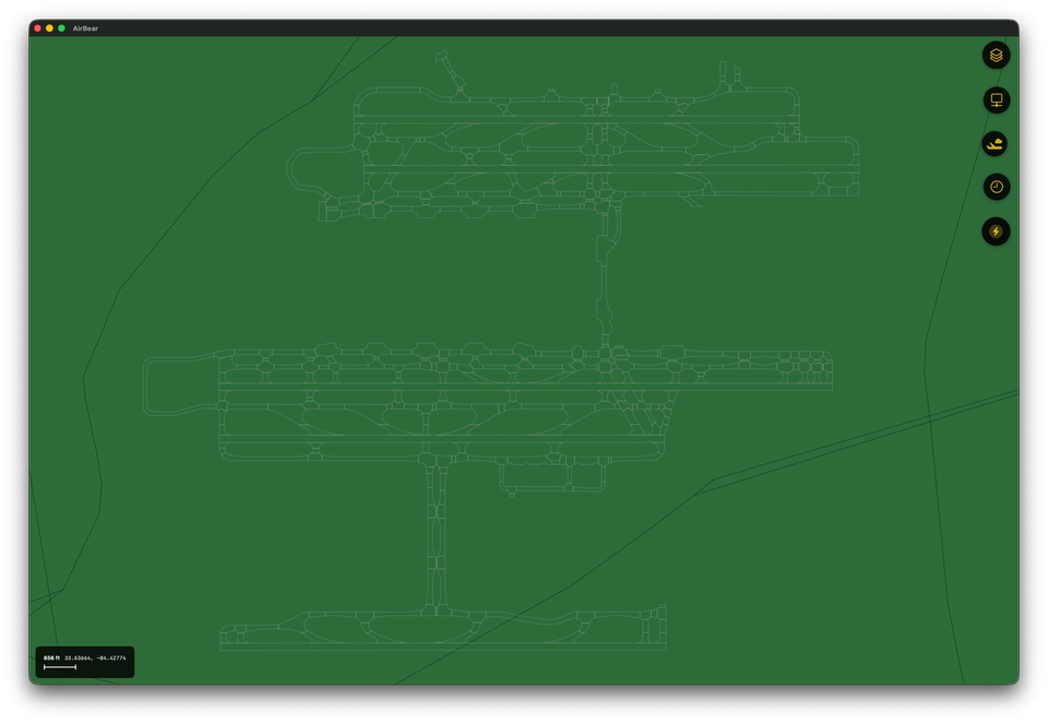
  • Improved draw performance by separating static and dynamic map layers.
  • Split current vs expired track rendering paths to reduce unnecessary redraws.
  • Reduced observability overhead by using snapshot-based updates where appropriate.
  • Added track/path simplification and caching optimizations.
  • Added compressed map resource packaging with automatic decompression at launch.
  • Tuned refresh/storage behavior to reduce CPU load in high-volume scenarios.

Bug Fixes & Stability

  • Fixed multiple zoom and projection edge cases, including over-zoom NaN states and geospatial projection issues.
  • Fixed several connection stability issues, including reconnect loops and concurrent read/reconnect races.
  • Fixed history loading and serialization issues that affected deterministic data handling.
  • Fixed UI routing and state bugs in connection setup and layer visibility behavior.
  • Fixed iOS/macOS build and launch configuration issues encountered during platform iteration.
  • Fixed map presentation issues, including safe-area border artifacts and stale info refresh behavior.
  • Improved inactive track handling and drawing order so newer activity is prioritized visually.

Notes

  • Boundary simplification for state/country polygons was explored for performance, but naive simplification was disabled to preserve shared-border correctness.
  • This release notes document focuses on end results rather than intermediate refactor steps.